Follow us

User account menu

  • Log in
Home
Global Earth Monitor

Search

Main navigation

  • Home
  • About
  • Project Overview
  • Explore
    • Articles
    • Project Deliverables
    • GEM datasets
    • Webinar
  • Use-cases
    • GEM use-cases
    • LC-CMS use-case
    • Map Making use-case
    • Conflict Pre-Warning use-case
    • Built-up use-case
  • Partners
  • Contact

Articles

Breadcrumb

  1. Home

How to Co-Register Temporal Stacks of Satllit Images

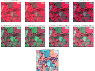
How To Normalize Satellite Images for Deep Learning

Area Monitoring: How to train a binary classifier for built-up areas

How to Co-Register Temporal Stacks of Satellite Images How To Normalize Satellite Images for Deep Learning Area Monitoring: How to train a binary classifier for built-up areas

How to Co-Register Temporal Stacks of Satllit Images

Challenges of large open-source datasets for building detection in Africa

eo-grow - Earth Observation framework for scaled-up processing in Python

A Deep Learning Approach for Crop Type Mapping Based on Combined Time Series Of Satellite and Weather Data Challenges of large open-source datasets for building detection in Africa eo-grow - Earth Observation framework for scaled-up processing in Python

Footer First

Sinergise

Sinergise, Laboratory for geographical
information systems, Ltd.

Cvetkova ulica 29
SI-1000 Ljubljana
Slovenia

Tel: +386 (0) 1 320-61-50
[email protected]

Footer Second

Partners

TomTom Global Content BV, Netherlands
European Union Satellite Centre, Spain
Technische Universität München, Germany
meteoblue AG, Switzerland

Subscribe to the mailing list!

Twitter   Linkedin   Forum

EU Flag
The project has received funding from European Union's "Horizon 2020 Research and Innovation Programme" under the Grant Agreement 101004112.
Disclaimer: Views expressed on this website are those of the individuals, partners or the consortium and do not represent the opinion of the community. Copyright © 2024. All rights reserved.
OSZAR »